Smart Access Infrastructure Audit
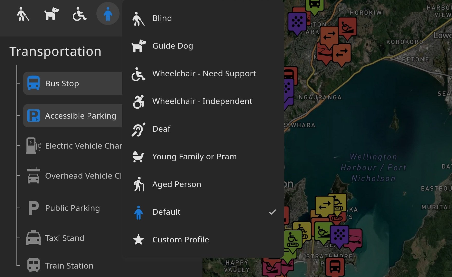
At Smart Access, we collect detailed data and photos on 40 different variables identified through extensive consultation with the disabled community, with all information easy and free for the public to access with the Smart Access application.
With our data, businesses and governments will be in a position to make informed decisions about accessibility, and infrastructure upgrades.
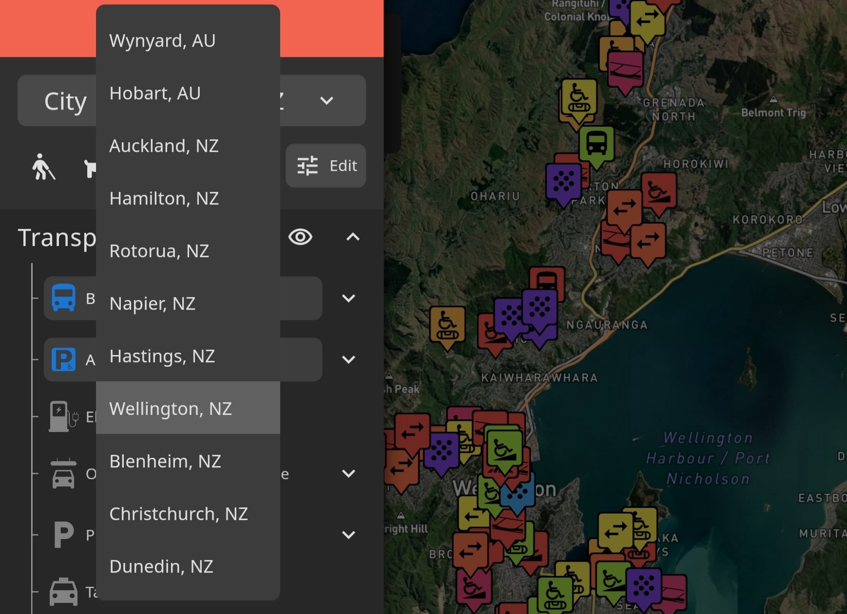
The Smart Access application allows users to plan a safe journey before leaving their house, no matter what their ability levels are.
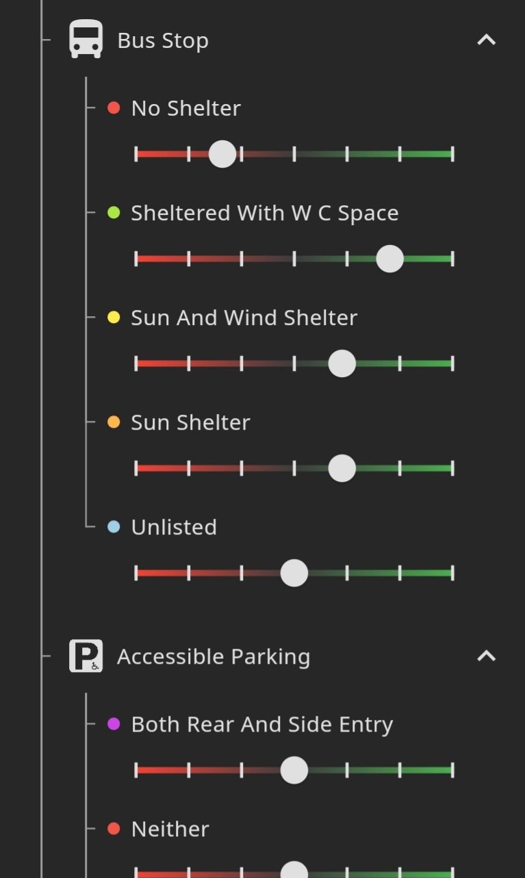
- The Bus Stop data allows users to see which nearby bus stop has the best shelter, and will show wheelchair users where there is a shelter with a space for a wheelchair.
- The Accessible Parking and Off-street Parking will show users where car parks are whether they're standard parks, Accessible for side-entry vehicles, or Accessible for rear-entry vehicles.
- Playgrounds, Shade, Park Bench, and Public Toilets helps families choose a good place for an outing.
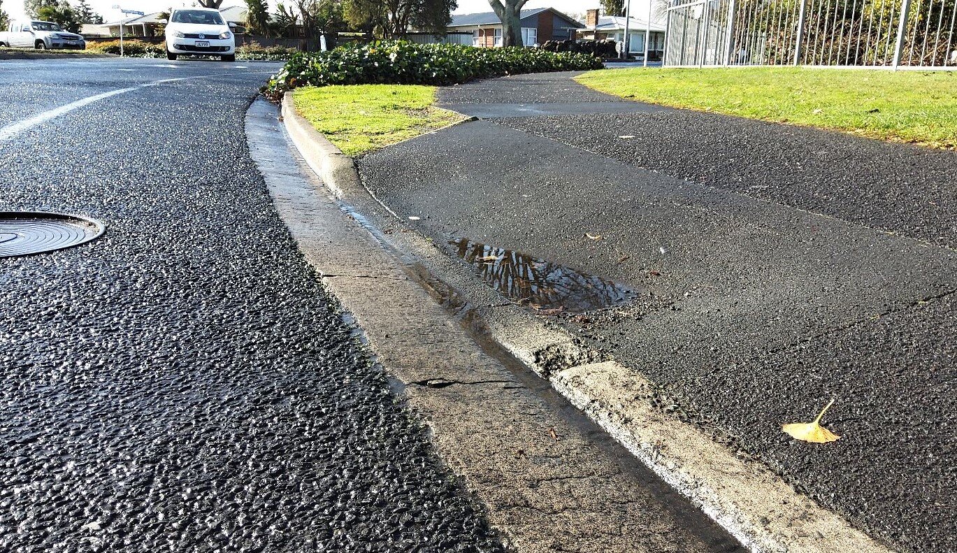
- The Kerb Ramp, Footpath Width, Gradient, Barriers, Surface Problems, and Flat Area to Cross help those with Mobility Impairments navigate the streets.
- The Bike Lane data helps parents plan safe bike routes to school.